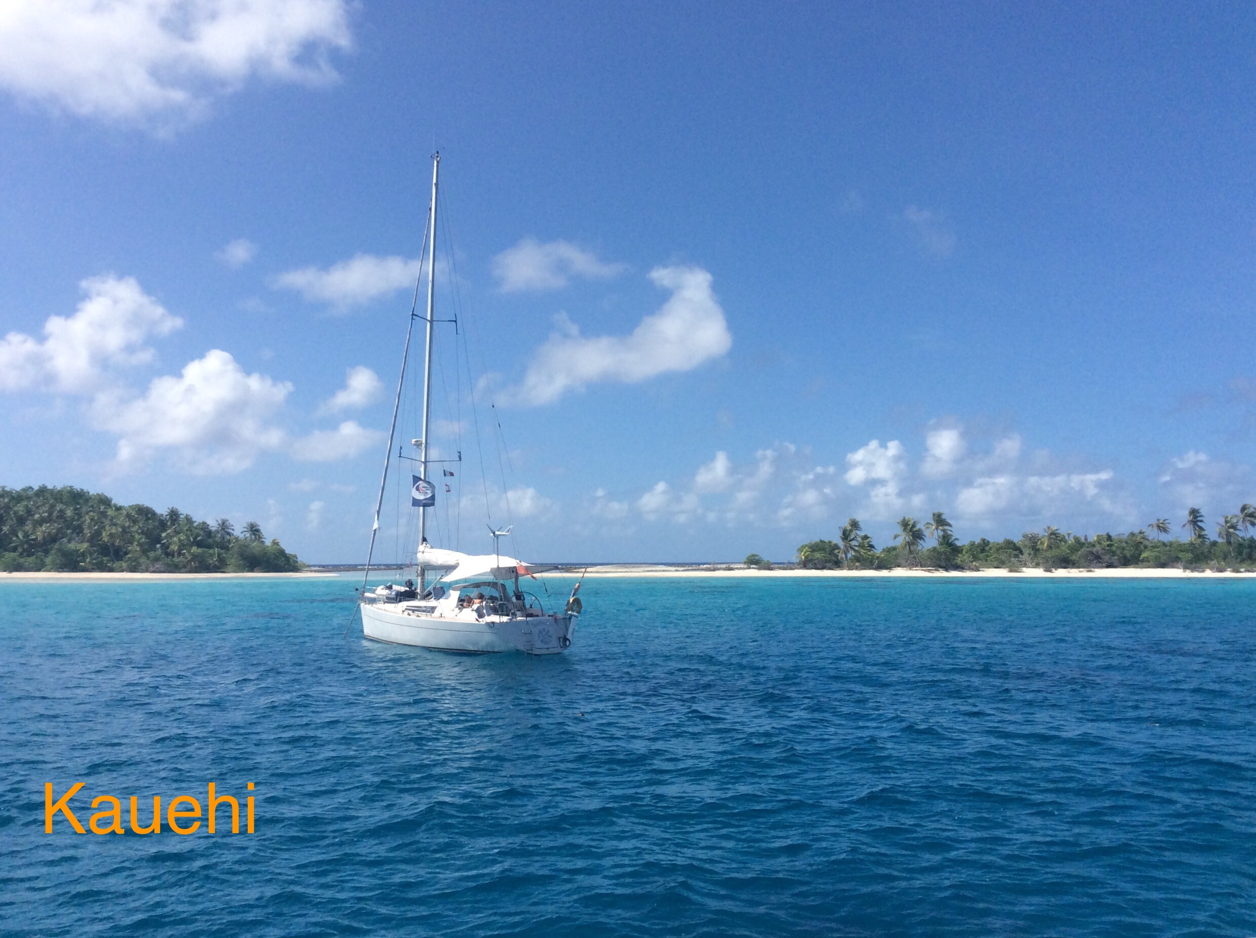
The Tuamotus represent the 3rd stage in island development where the central island has sunk leaving the lagoon enclosed by the coral reef with occasional Islands (motus) and palm trees. They are low lying and not visible from a great distance hence their previous name (pre GPS chart plotter days) of The Dangerous Archipelago. Of course it is still possible to make a mistake! We were aiming for Fakarava but realising that just about everyone else was heading there decided go to the smaller and slightly nearer island of Kauehi. The timing of entrance to the lagoon through the pass can be critical as there are strong tides and possibly overfalls etc ( just like narrow channels in Scotland). Also you need enough daylight to travel the 9 miles across the lagoon to the anchorage. Lexington was anchored at the village when we got there and we spent a nice evening with them, Skyelark and Taistealai arrived next day. The village was small, it had a shop, also an airstrip and everyone was very friendly. Apparently the oyster nursery is on Kauehi and they are taken out Fakarava to be matured (and pearls harvested). Lexington went on in the morning but the other three boats moved to the South end of the lagoon (letting Skyelark with the deepest keel lead the way) to find anchorage off deserted sandy motus with coconut palms and just behind the outer reef. Great snorkelling and lots of black tipped reef sharks, this was more what we expected in a Pacific island. All the boats stayed another day, and another … We later visited Fakarava (bigger and a much bigger village) and Toau but unfortunately the weather was not so good. Then off for the 240 mile sail to Tahiti.