Pittwater

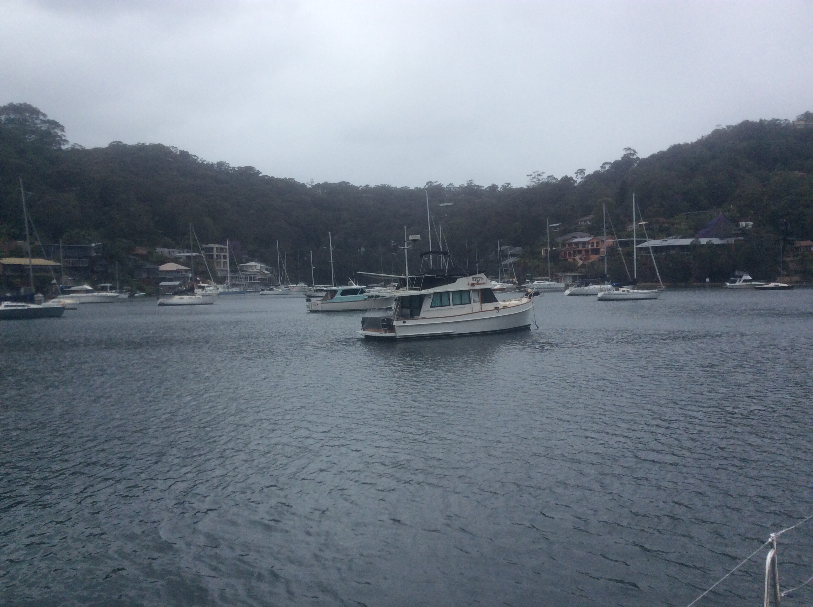
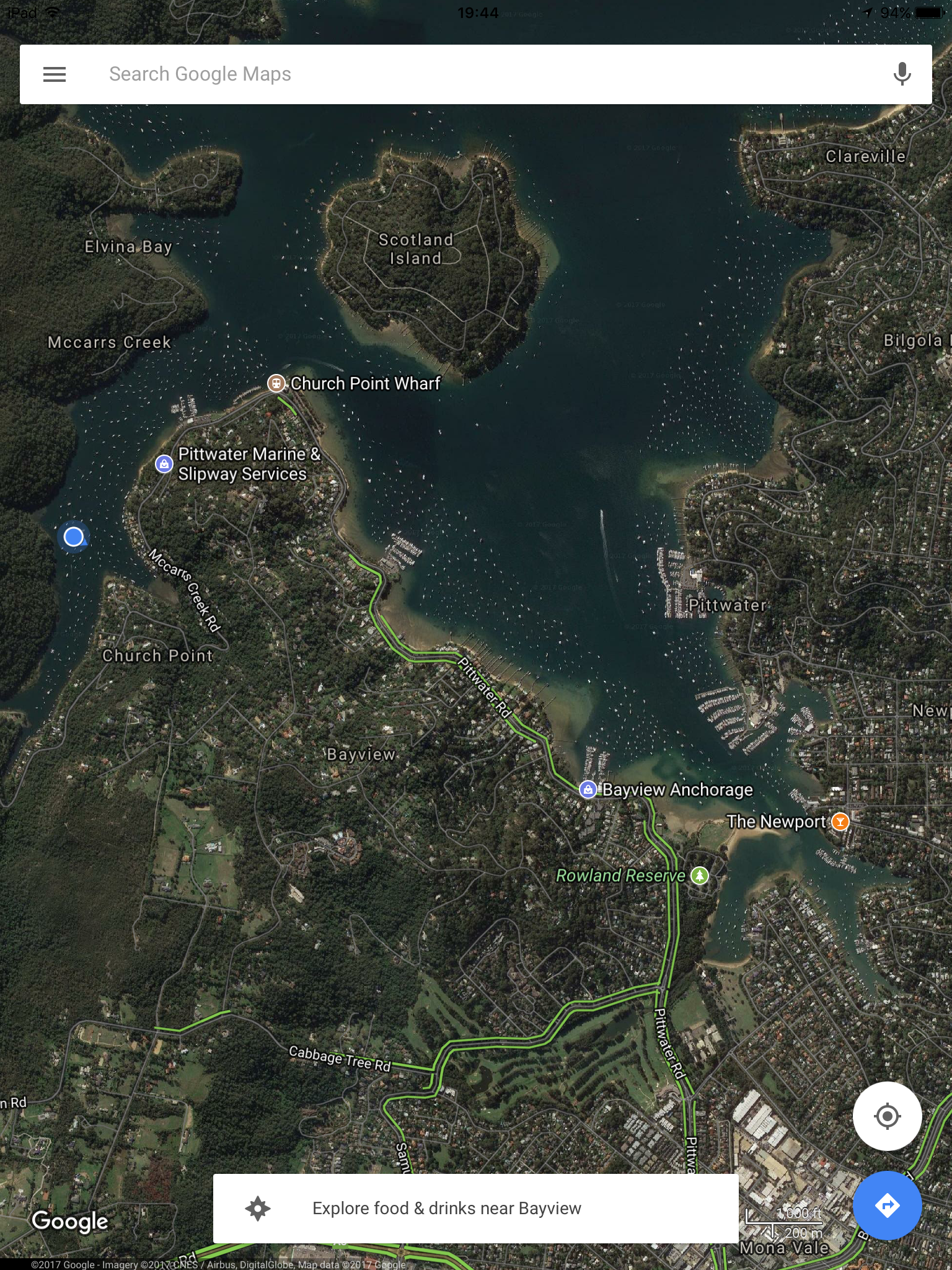
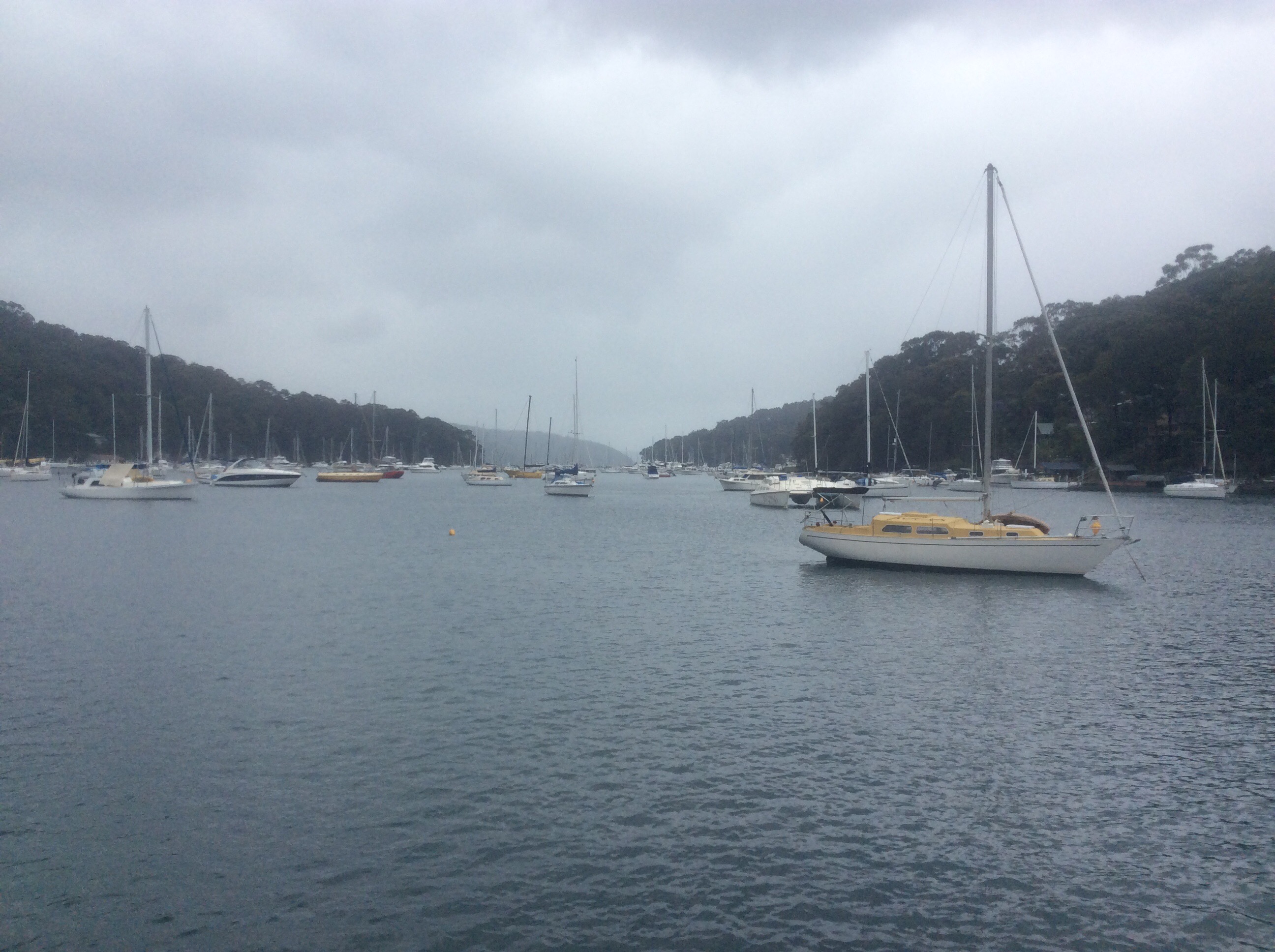
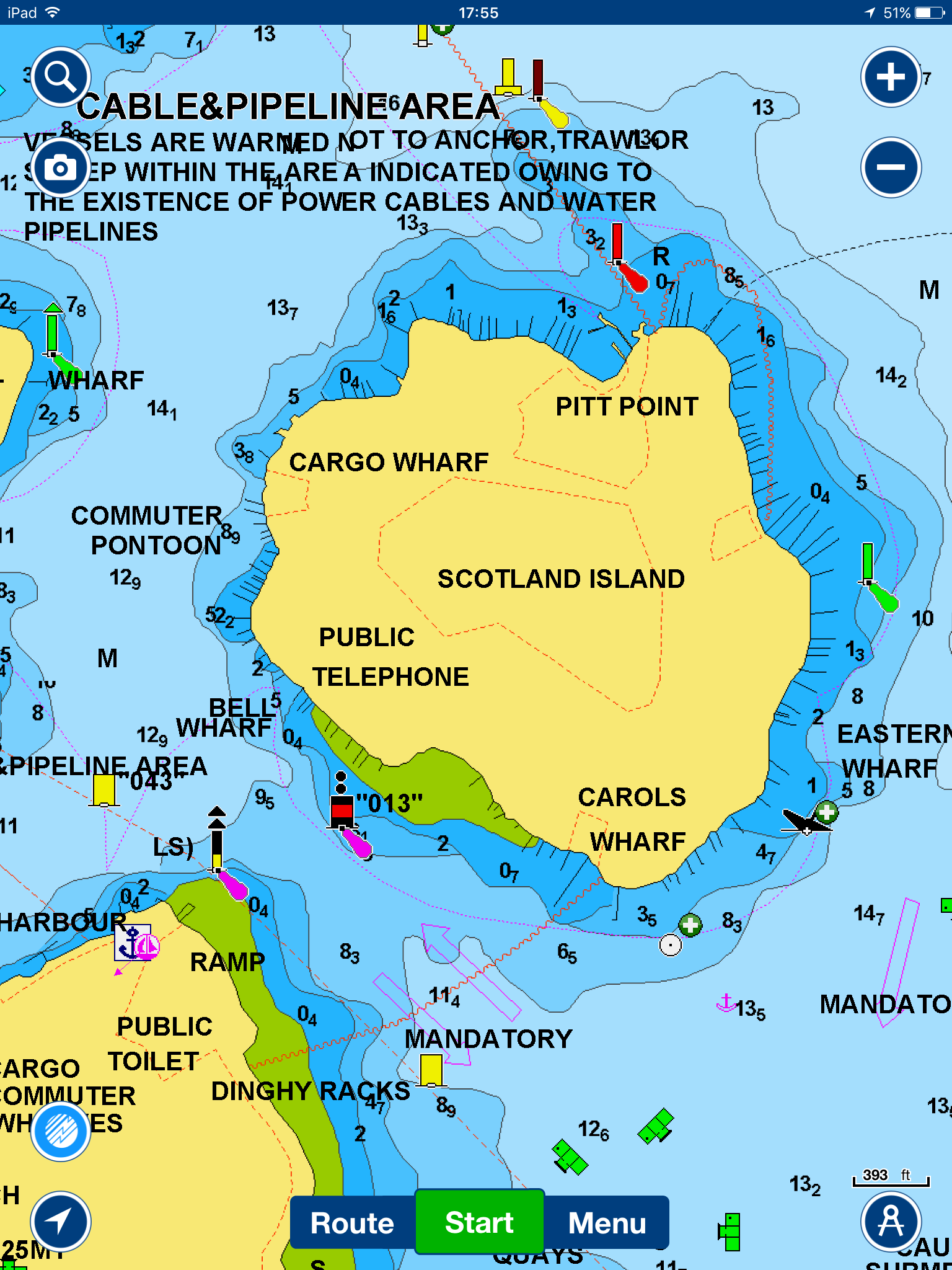
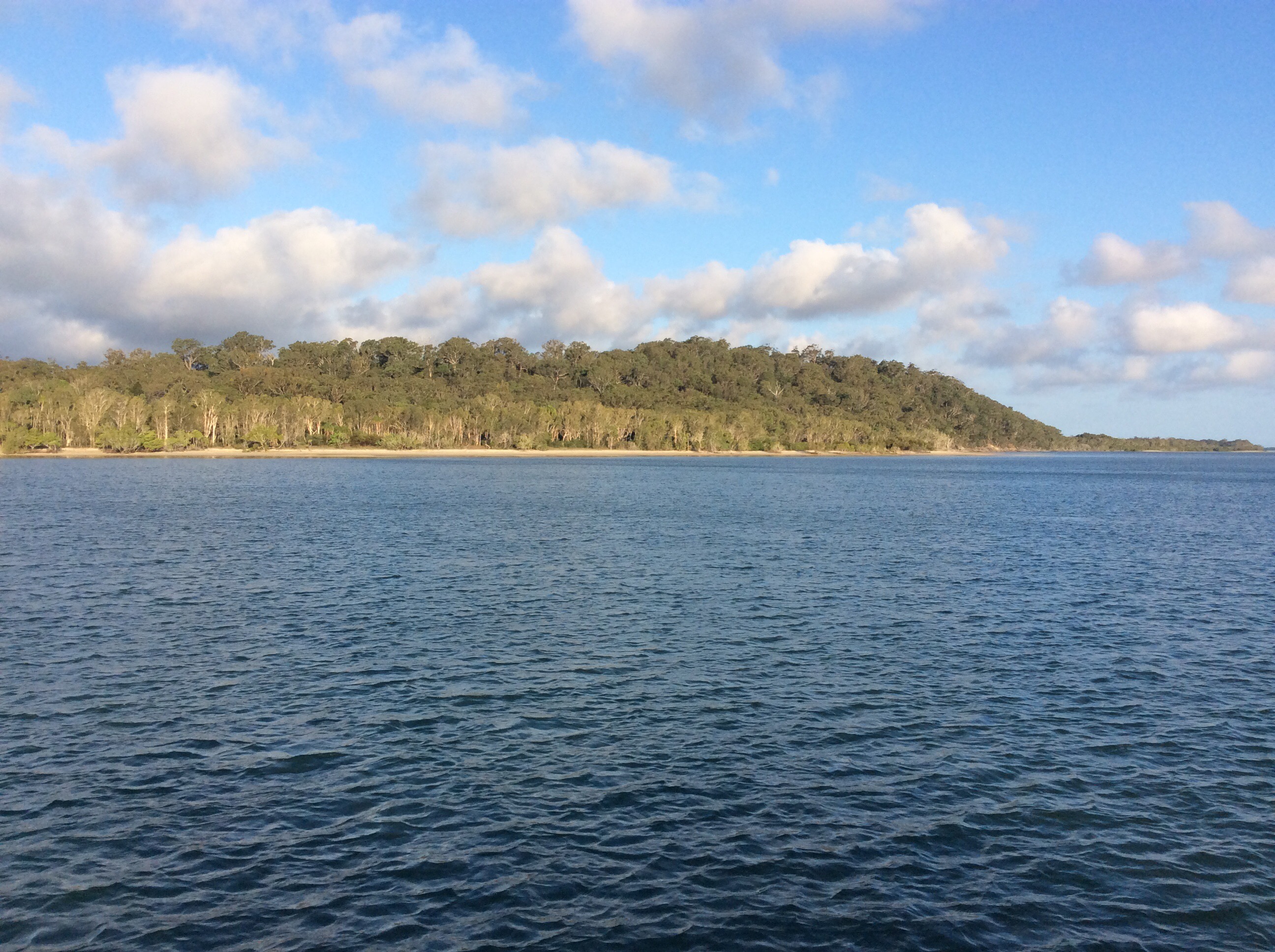
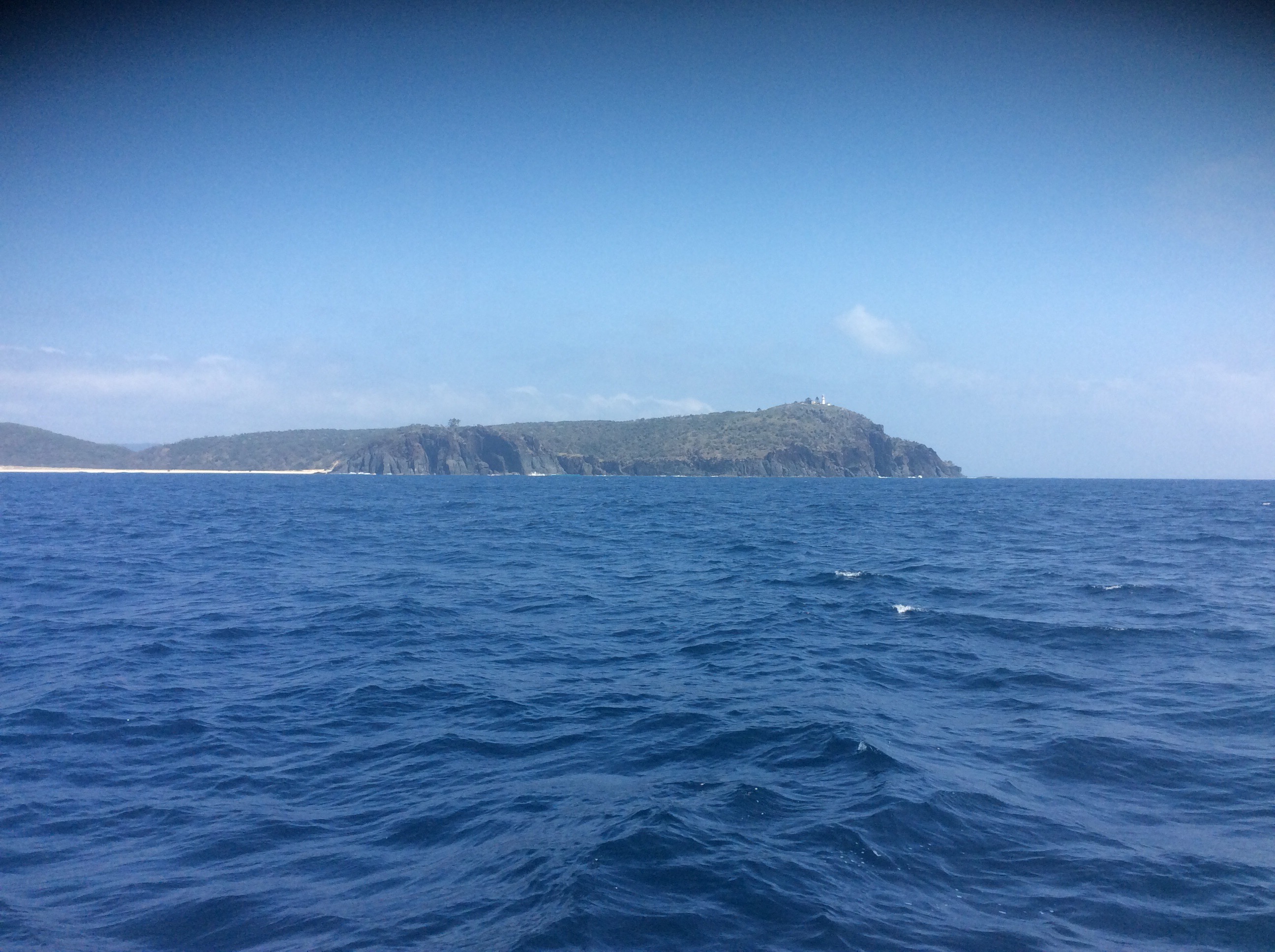
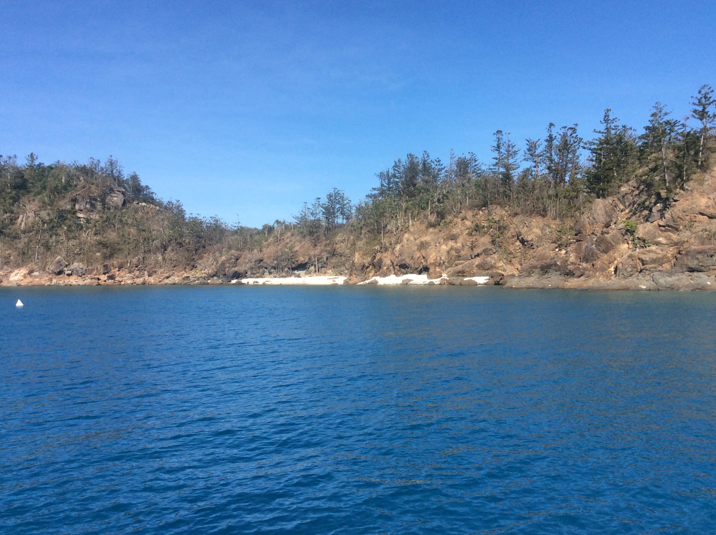
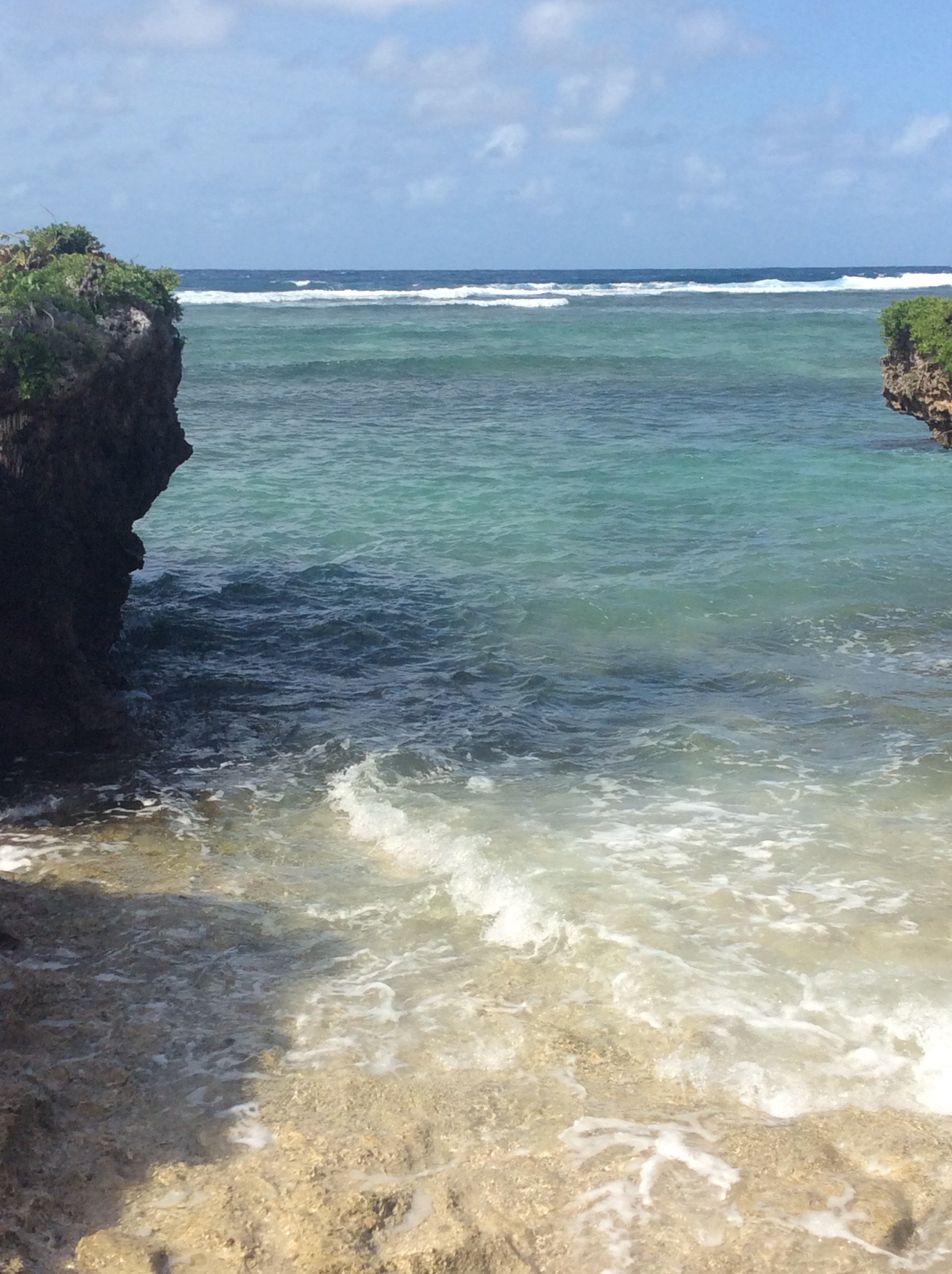
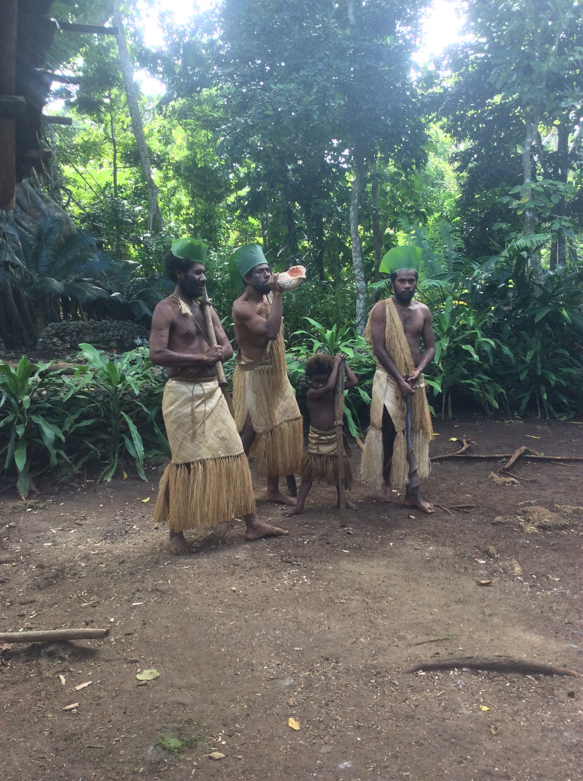
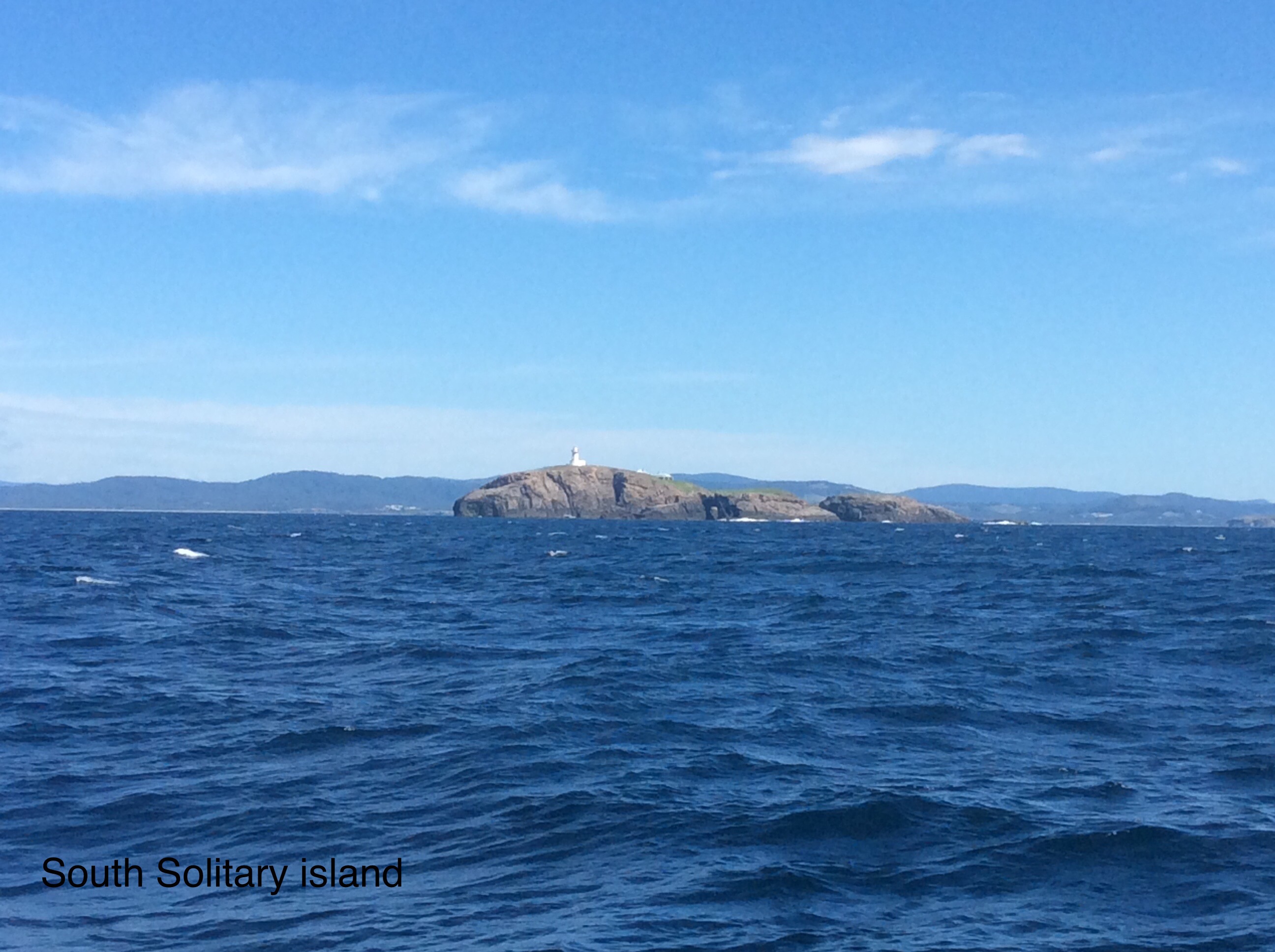
Sailed here from Newcastle on Friday, judged that by then the southerly swell would have died down enough, the met office had been saying surf conditions offshore all week.  This a yachting Mecca with every little bay and creek packed with moorings – see pic from Google Earth.  We anchored in a nice bay for a couple of nights, today moved to a mooring in an even more sheltered location belonging to very friendly and helpful people we met back in Bundeberg, Lynne and Andrew  from Mischief.  The weather is not v nice, cold, wind and rain and forecast worse so we may be here for a few days.   Apparently there are little penguins here but we haven’t seen any yet.  We were amused by the name of the island.

P.S I fixed the Yelow Brick tracking so that it shows the whole trip and not just the last 30 days https://my.yb.tl/Timshel81.

Coffs (not coals) to Newcastle

We made the 180 nm trip overnight with good conditions, not much wind at first but under sail by the time it got dark. Quite a few yachts on passage S and also big ships, some whales and also a multitude of dolphins – they disappeared when the camera came out. Ever since there have been strong S winds and big seas forecast.

Hope to leave tomorrow to go to Pittwater and Sydney. Have been busy arranging for Timshel to stay here while we fly home over Christmas.

Gold Coast to Coffs Harbour 

We made our way out of the Gold Coast Seaway channel (luckily the bar was in a benign mood) on Tuesday to sail overnight to Coffs Harbour. There are still a lot of humpback whales about. We got a 4 knot lift from the East Australian Current for part of the time which made the journey a bit faster. We are now berthed in Coffs Harbour Harbour- the town is called Coffs Harbour. It’s a friendly place, nice walks, but we haven’t been to the famous Big Banana Amusement park. There had been some windy weather and an amazing thunder and hailstorm so we stayed a few days.

Brisbane to Gold Coast

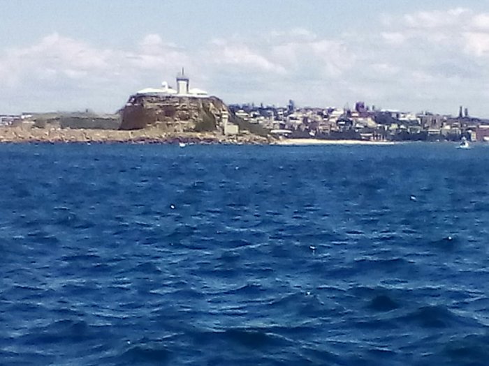
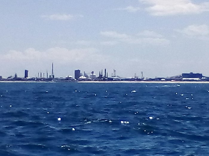
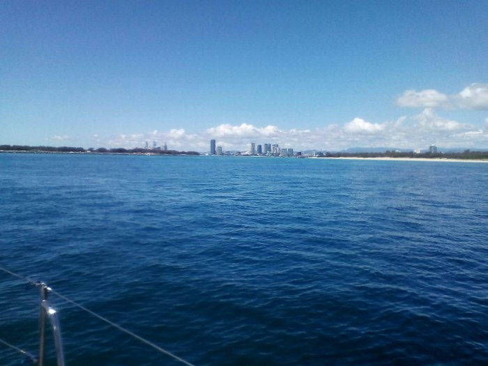
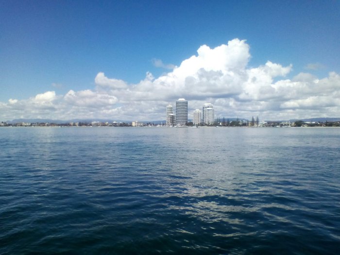
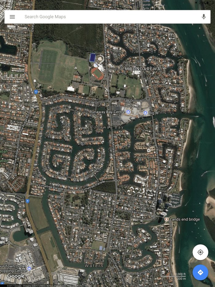
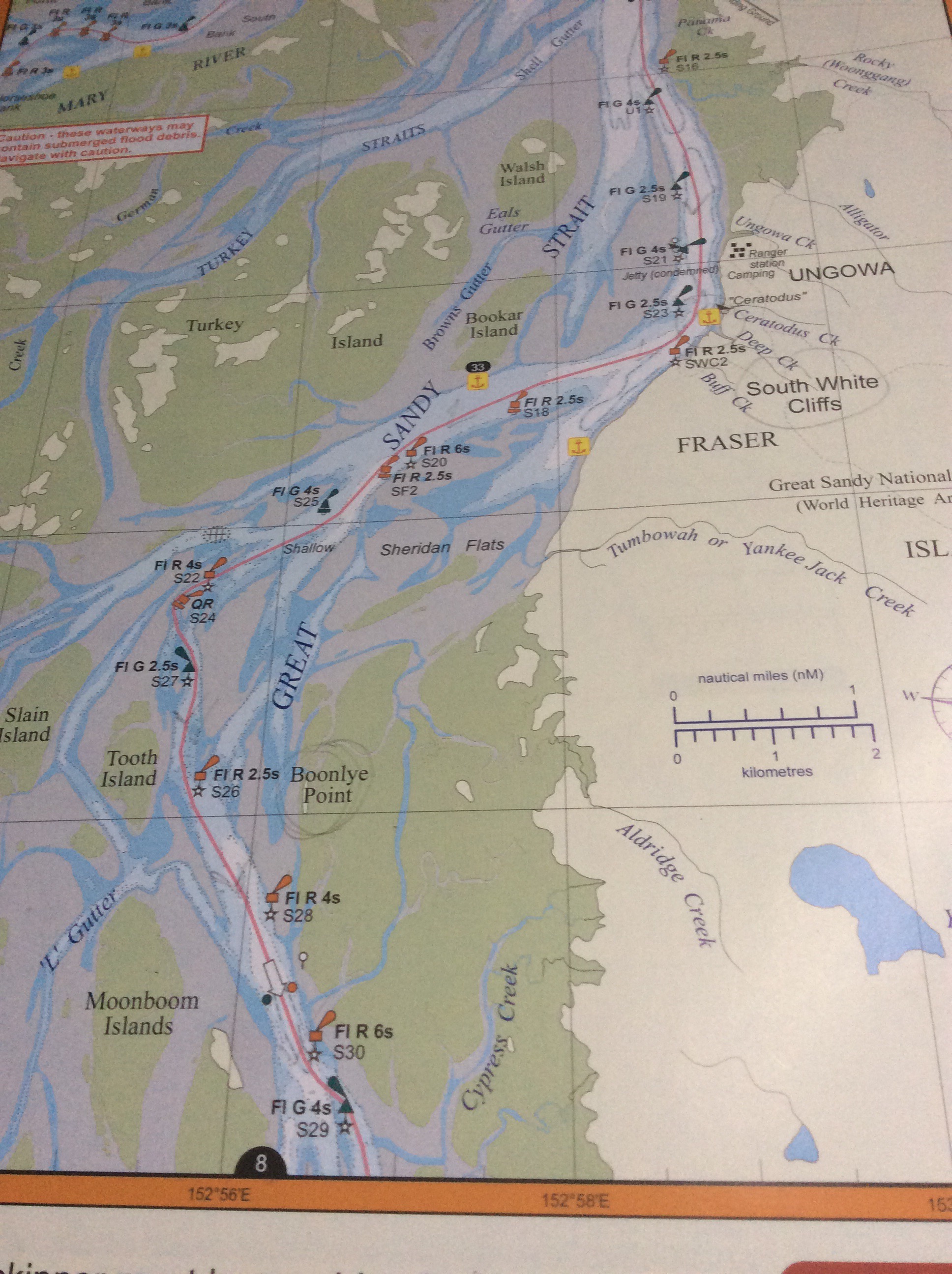
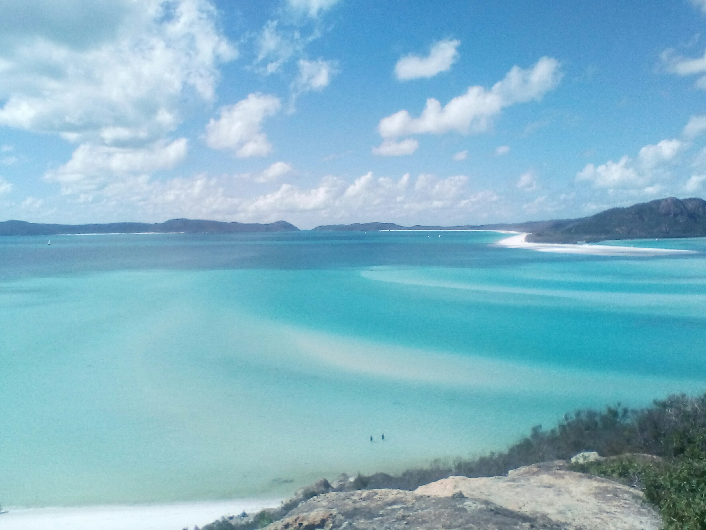
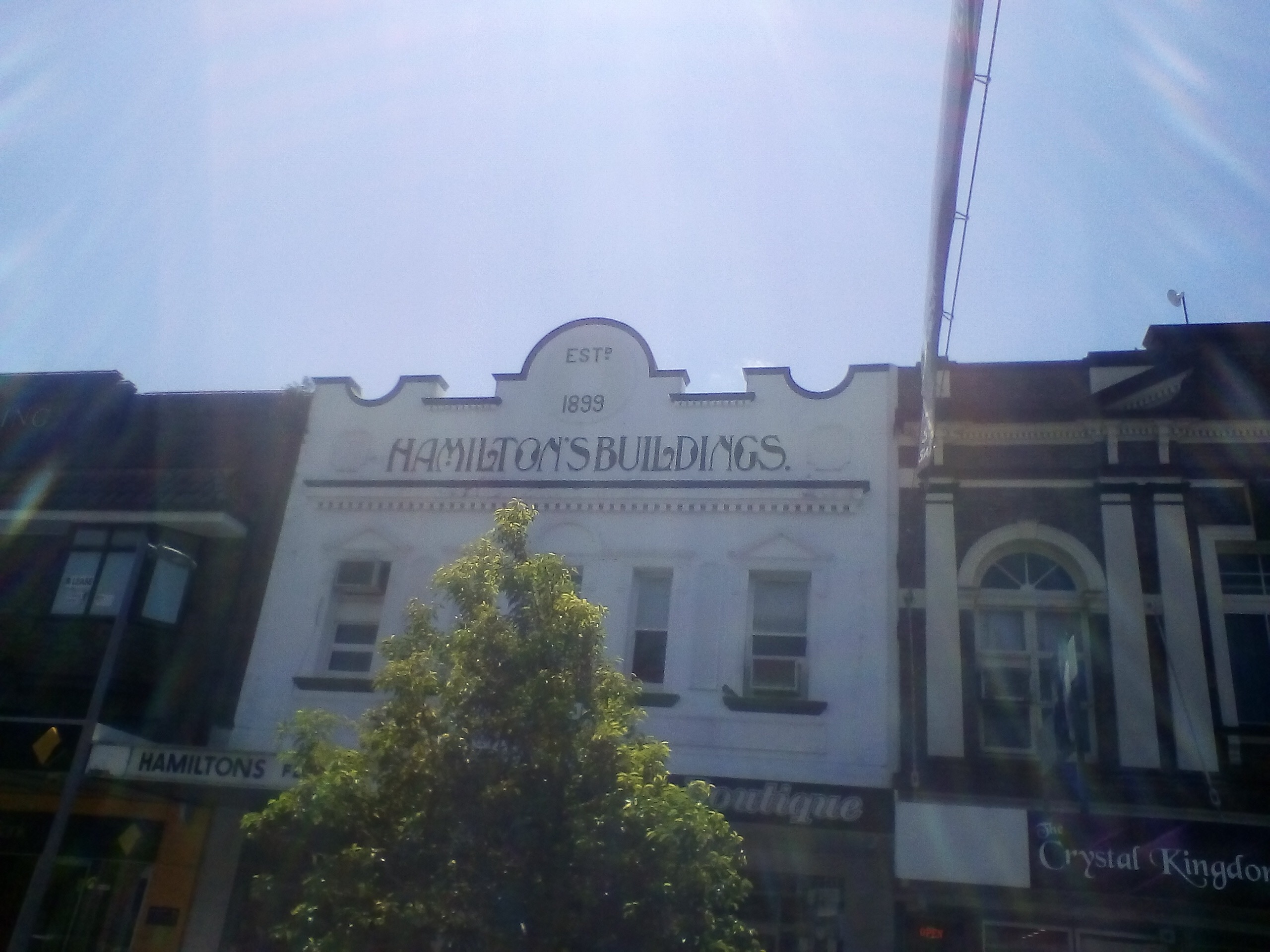
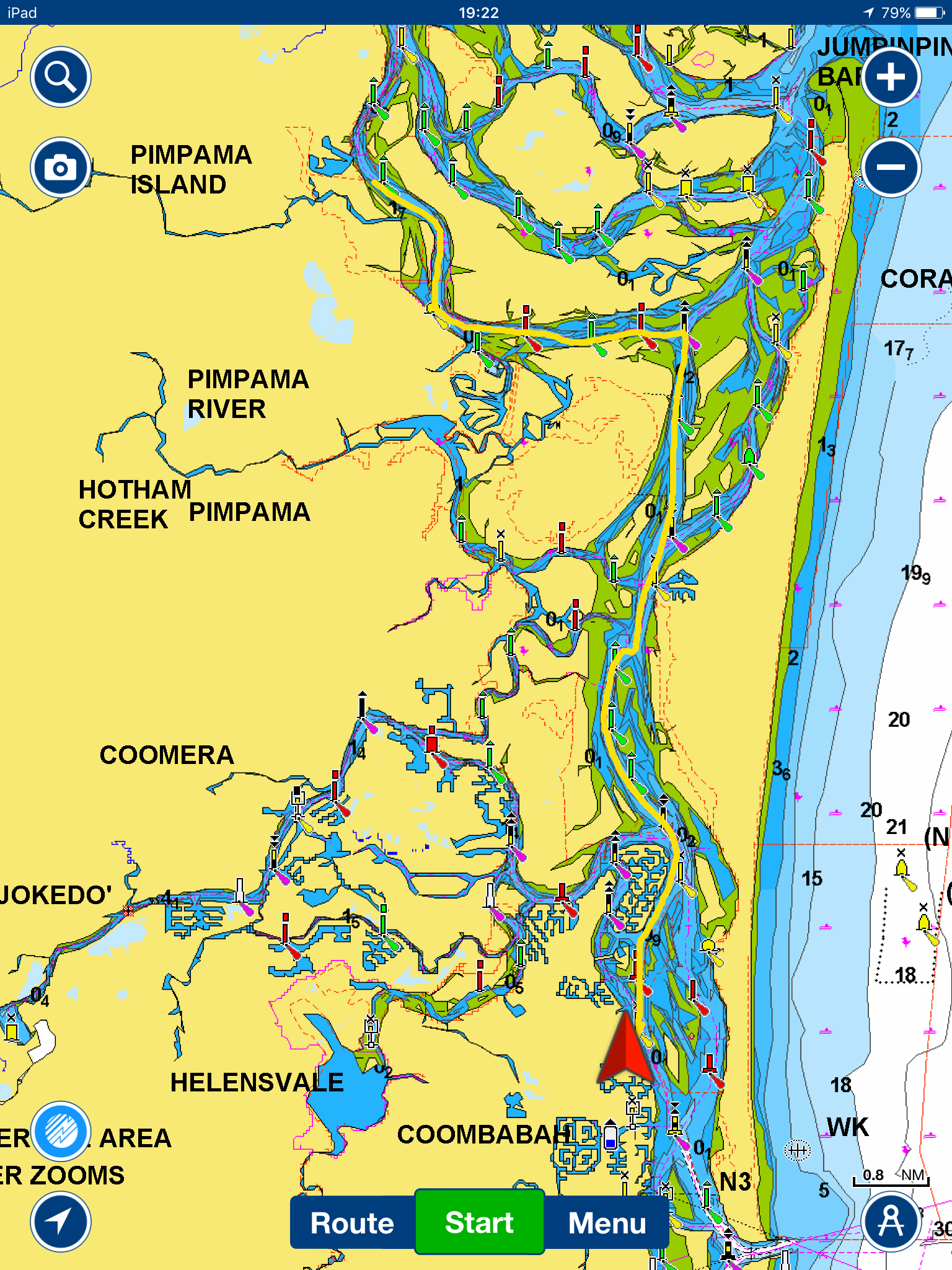
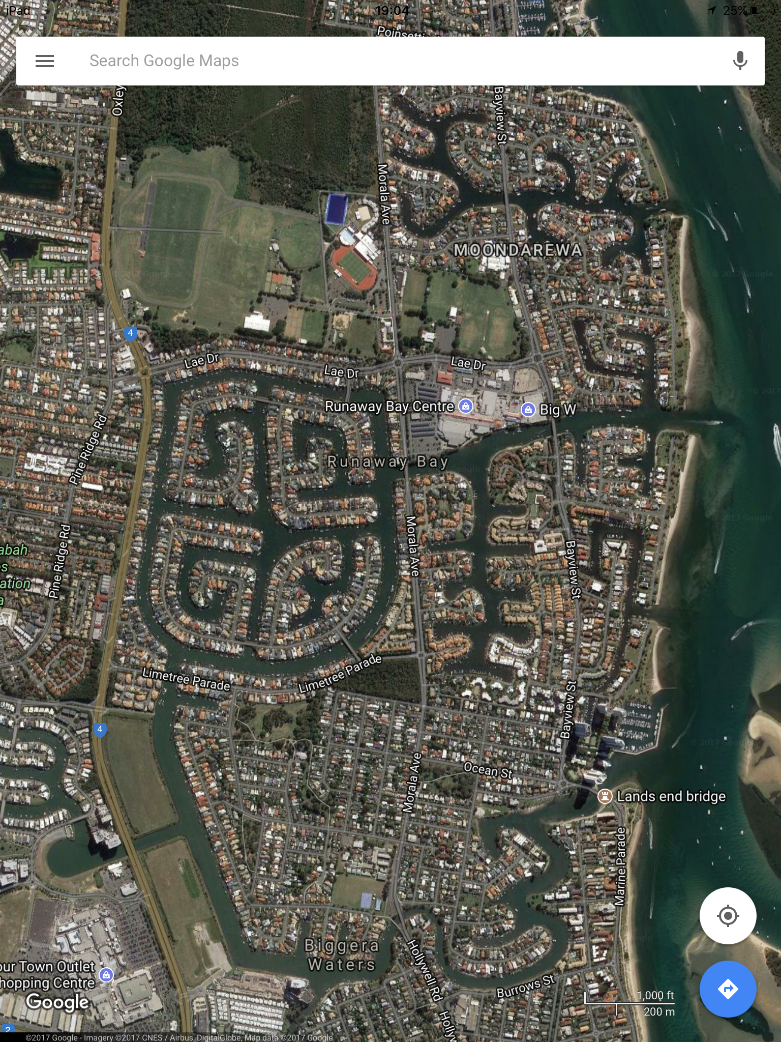
Finally the wind and rain slackened off enough to leave the Royal Queensland Yacht Squadron Marina and make our way south through the intricate narrow and shallow channels of Moreton Bay. Apparently this sustained wet period is the first rain they have had since cyclone Debbie in March. It hadn’t finished with us yet though and we spent an extra night part way through just before the shallowest patch as it was forecast heavy rain and 30 knots of wind. We could see the skyscrapers of City of Gold Coast and Surfers Paradise as we wended our way through peaceful Mangrove lined waterways (at least until the jet skis and motor boats arrived). There were some Australian Humpback Dolphins and more at the entrance to Runaway Bay Marina where we berthed for a couple of nights. Not sure Steve’s nerve is up to doing it all again so we may have to take the outside passage on the way back north. N.B. Gold Coast is the name of the City as well as of the stretch of Coast. The Commonwealth Ganes will be held here in April next year. Pictures show the intricate navigation and also the sort of town planning in this area with developments round an intricate system of canals.

P.s. Thanks to Andrew for telling me how to take screenshots on the iPad.


Brisbane

Seem to have been stuck here, over a week now, due to antisocial weather – howling wind and lashing rain for days (4 or 5 anyway), might as well be in Scotland! However marina at Royal Queensland Yacht Squadron is very friendly and had a nice day in the city before the rain started. They have built a beach by the river in the middle, sand and pools. Went for a ride up and down river by ferry.

Capricornia Coast and Sunshine Coast

Cape Capricorn was named by Cook as it lies close to the Tropic of Capricorn (23 deg 30 min).  From Mackay we headed south to Digby Island, Middle Percy island then Great Kepple island, also Island Head Creek and Port Clinton, good sailing in predominantly NE wind.  The islands are the easier option (and very scenic, lovely beaches) as the mainland ports and anchorages are rivers or creeks with shallow bars and intricate pilotage.  We decided to miss out Gladstone – even more intricate pilotage and an industrial port – and sailed overnight for Bundeberg.  The entrance here is a bit like Montrose with a long marked entrance channel stretching out to sea through the shallows.  Inside we found a friendly Marina and other friendly cruisers, getting much good advice for the next stages of our trip.  But the weather turned, 2 days of absolutely torrential rain (the first they’ve had for months) and wind so we stayed anchored in the river.  Finally we could head onwards to Fraser Island which is the biggest sand island in the world.  We spent a few days making our way through the channels inside the island called the Great Sandy Strait – you have to get the tide right for these, you know you’ve got the right time when you realise you are joining a line of boats.  Wonderful wildlife, as well as humpback whales, turtles and various birds – sea eagles and a huge Great Egret on the shore, there were some charming small dolphins, light grey with long snouts.  I looked them up (4g access for a change) and found they are Australian Humpback dolphins, not that common but there is a colony here.  Yesterday we exited the southern end of the strait which means negotiating the formidable  Wide Bay Bar.  You are advised to phone the local coast guard, Tin Can Bay, to get advice and current waypoints, which we did.  They texted the waypoints (in fact the bar was surveyed earlier this year and the leading lights realigned) and advised us to cross close to high water.  Again you knew you’d got the correct time as you joined a parade of yachts.  Luckily in the prevailing conditions the bar was a pussycat, about as calm as possible to be. As the morning went on  (we had started at 6), the wind came up from the NE and we had a cracking sail along the coast with sails wing and wing and at least an extra knot in our favour from the East Australian Current.  Saw a shark, a huge turtle and humpback whales doing spectacular leaps and tail slaps.  Coming into Mooloolaba was a bit hairy as a big following sea now and shallow entrance to the river with folk kayaking across in the waves to add to the tension – hope they know that the yachts can’t really give way to  them in such location.  Anyway we are now moored in the Marina at Mooloolaba which is on the Sunshine Coast – don’t know who called it that.  Apologies for lack of wildlife pics, nothing seemed to stay still long enough.

.

Heading south

We are now on our way south again, leaving the Whitsundays after a good few weeks.  We finished our visit with a night in the Marina at Hamilton Island which is a posh resort.  Expensive, but we thought it had to be done – after all we needed new t shirts as the ones we got on previous visit 17 years ago have worn out!  We stopped off in Mackay, hoping to get the diesel genset repaired AGAIN, also to get supplies and wait for a more favourable wind with a northerly slant.  We have done some more exploring here, doing the heritage trail round the old part of the town, and yesterday we hired a car to drive inland through the Pioneer Valley.  Of course the original pioneer was called John Mackay.  You go through acres and acres of sugar cane with narrow gage railway through the fields and occasionally crossing the road, then the road climbs steeply into the hills of the Eungella national park.   At a place called Broken River we were able to view duckbilled platypus and freshwater turtles, also a variety of birds – grey goshawk, kookaburra, Australian bush turkey, and a huge iridescent blue butterfly as big as a bird.  We also did a walk through the rainforest and a visit to Finch-Hatton gorge. Altogether a good day out.

Of course we have been horrified by the news of the bombing on the London Underground and before that Hurricane Irma that laid waste to places in the Caribbean that we visited only last year.

Australia – Whitsundays

We left Mackay and headed North for the Whitsunday or Cumberland Islands that were discovered by Captain Cook in 1770. We have been having a relaxing time sailing about very slowly to the islands of Keswick, Brampton, St Bees, Goldsmith, Thomas, Haslewood, Whitsunday (several anchorages), Dumbell, South Molle, and the mainland at Airlie Beach for a short stay in the Marina to get supplies, do washing and get rid of rubbish. There are a lot of charter boats operating in the area, but we have spent some nights anchored in a bay by ourselves, or one night we had the whole small island (Dumbell Island). The scenery is beautiful, the sea and sky a wonderful blue. Weather good, but cool at night as it is winter here. The islands are the remnants of volcanoes, once part of the mainland Australia until water levels rose, there are rocky tors on the skyIine reminiscent of Clachnaben. We have seen lots of humpback whales – it is the season for their migration up the coast from Antarctica, also dolphins, turtles, Sea Eagles and Ospreys. We haven’t yet had any really good snorkelling, at least nothing like we remember from when we were here 17 years ago. The visibility is not that good, maybe we haven’t yet got to the best places, but there are reports of coral bleaching due to raised sea temperatures and extensive damage due to cyclone Debbie from March this year.

The picture is of lovely Whitehaven beach on Whitsunday Island- some lucky folk come by seaplane.


Now that we have left the rally we aren’t on the World ARC tracking, but you can find us at: https://my.yb.tl/Timshel81. Or the AIS tracking should work too.


Vanuatu to Australia 

No wind when we started, we drifted over the line then motored off and on for the first day or so, we were close hauled and actually having to tack – very unusual for this trip. Then we had wind but somewhat variable in strength and direction, one person in the fleet aptly termed it playing Hokey Cokey with the sails. You would wind them all away for a squall, then let out full sail in a calm, only to have the next squall arrive as soon as full sail was deployed. We were trying to keep up speed in order to get to the finish at the Hydrographers Passage through the barrier reef before the closing time. We made it with a couple of hours to spare despite the adverse tide at the entrance. Then there is still over a 100 miles to get to Mackay through the narrow channel in the reef. First sight of Australia was some Nav towers and a sandbank, by next morning we could see some high Islands but it was nearly lunchtime before we saw mainland Australia. Was just remarking that we hadn’t seen any whales and there they were, several humpbacks just off MacKay.
On arrival first the dog came aboard clad in little bootees, then Biosecurity and Australian Borderforce. They were all very friendly and polite, but the boat was searched very thoroughly and of course they took away all the fruit and veg, eggs etc. The Marina is nice, good showers and launderette, only problem is 25 min bus ride into town to the shops. There we were surprised to find ourselves buying food in Woolworths, and marvelling at the range of goods on offer and the perfection of the fruit and veg – It doesn’t seem right some how.
We had a trip to Cape Hillsborough to see wallabies feeding on the beach at dawn, then the prize giving dinner. Unfortunately the results for the leg had not been calculated correctly which meant that some of the prizes were given to the wrong boats, in fact even the revised results are not correct and I think they have been wrong for past legs as well. But Steve got a prize in the photography competition for his picture of a black tipped reef shark in shallow water by the beach at Suwarrow.

We have left the world ARC Rally here and are spending a year around Australia (also flying home for a bit), it us been very sad saying goodbye to all our wonderful friends as the boats set off to head north and round to Darwin for the next leg, we will really miss the camaraderie and community that has developed. We will join next year’s rally at Darwin to continue the circumnavigation and there are already 5 other boats from this year apart from ourselves on the list who are doing likewise. We did mean to head north to the Whitsundays with everyone, but have ended up getting work done on the boat here instead. This seems to be a good place to get things fixed (e.g. the generator and the autopilot) and we are hoping that this time they will stay fixed (or we will be back to complain), so many of the things that were repaired going along broke again soon after we had put to sea.

To Vanuatu 

It is about 450 miles from Musket Cove Fiji to the island of Tanna, Vanuatu.  We had a good trip, unusually the wind was on the beam or often forward of the beam rather than behind us.  It was also quite strong at times and we made good time.  Vanuatu used to be called the New Hebrides, there are a total of 83 islands and Captain Cook was here in 1774.  Uniquely the islands were once jointly administered by the French and the British.  Apparently there are 110 local languages, but people mostly speak English or French and a sort of pidgin called Bislama.  We arrived at Port Resolution (named after Cooks ship), a pretty Bay with black sand and hot springs on one side.  At times you can see the glow of the Volcano Mount Yasur from the anchorage.  The area was devastated by cyclone Pam in 2015 and World ARC has been working with the village by Port Resolution.  We were given a list of what the village needed – this included 4 wheelbarrows,  3 guitars, Machetes , Various tools,  fishing gear etc.  We had a tour round the village and the surrounding area, they have beautiful gardens, flowers, then a trip to see the Volcano at sunset which was awesome.  First you feel the pressure wave then you hear the thump and then see the shower of red lumps of lava shooting up in the air.  Next day there was the official exchange of gifts with much ceremony and singing and dancing.  We presented the various tools and things that had been requested, in return we received decorated bags and huge palm baskets of fruit and veg.

Next we sailed north to the island of Erromango where we stopped at a lovely anchorage called Dillons bay.  We had meant to have a Potluck on the beach, but this turned into a meal in the village hall with most of the villagers, though we were allowed to provide some of the food.  We were guided to the Cave of Skulls by David, who is building his “Yacht club”  (a shack with lots of flags hung up and a Visitors book to sign), also a tour of the village. Then it was time to sail on North to the island of Efate, where we berthed stern to on the sea wall at Port Vila.  Port Vila is a cosmopolitan busy town and the cruise ships go there.  The Americans had a base at Efate during WW2 and the influence can still be seen.  We went for a tour of the island, outside the town the many villages are largely traditional but they do mostly have electricity.  We went to one Custom village where we saw displays of traditional crafts and law and even some firewalking.